Ground levels
Explore slopes, dips and undulations before you position your infrastructure.
Our drone LiDAR survey shows ground levels, site measurements and sightlines — so you can plan with a clearer picture.
Click here to see our dedicated site ↗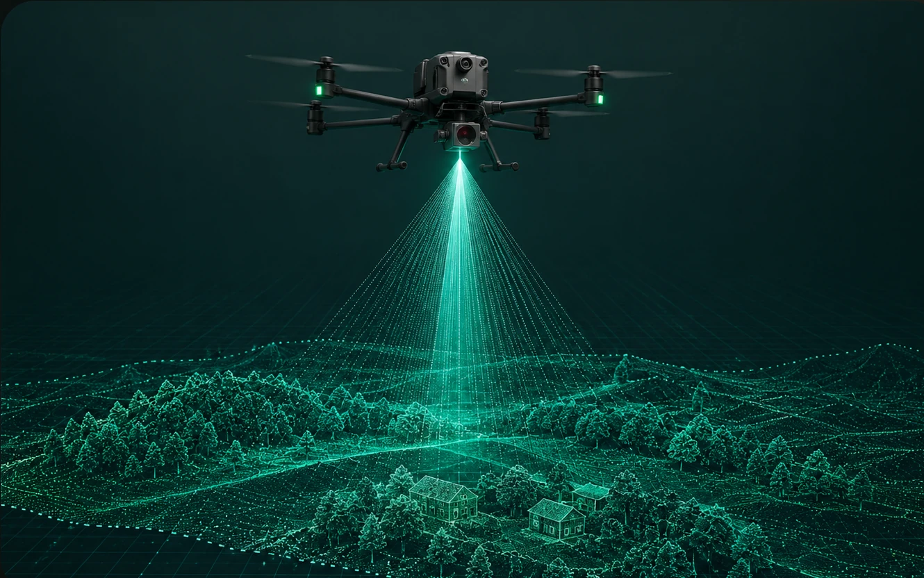
Explore slopes, dips and undulations before you position your infrastructure.
Check road widths, distances and tree heights using detailed site data.
Investigate views between audience areas, stages, trees and venue features.
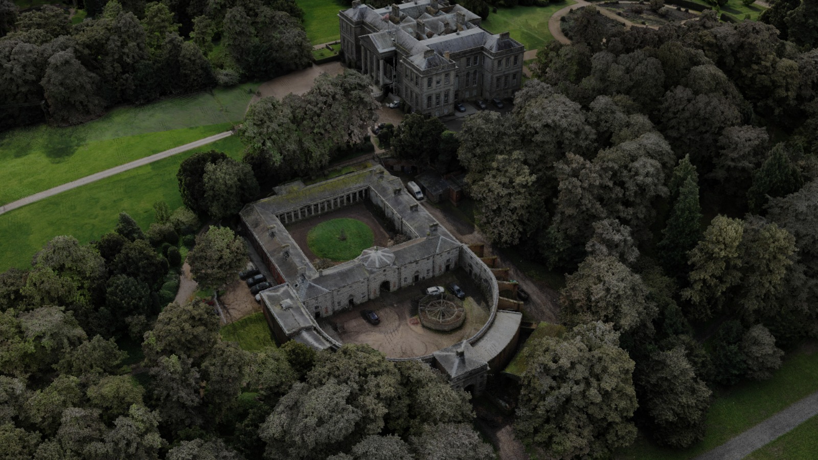
A detailed 3D model of your location, built from aerial laser scanning. Use it to explore the terrain, measure site features and investigate views before finalising your event layout.
Tell us your site location and what you need to understand — ground levels, access routes, tree heights or the view from an audience position. We’ll discuss the scope and required detail before the survey.
The image above is a LiDAR visualisation: a digital model of a real location, rather than a flat aerial photograph.
Once you understand the ground, our GPS robotic line marking service can bring your approved layout to the field. A survey helps you plan the positions; our robots paint the lines.
For more on our drone surveying service, visit our dedicated Drone LiDAR website ↗.
Talk to us about your project ↗